🗺️Geospatial Zone-Prakash
GIS | Remote Sensing | Earth Science | Geo AI
Cartographer Portfolio-Map Gallery

Topography of Nepal (Using Python Programming)

Dhangadhi Land Cover Map 2001

Dhangadhi Land Cover Map 2004

Dhangadhi Land Cover Map 2007
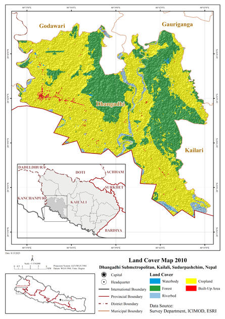
Dhangadhi Land Cover Map 2010

Dhangadhi Land Cover Map 2013

Dhangadhi Land Cover Map 2016
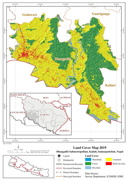
Dhangadhi Land Cover Map 2019
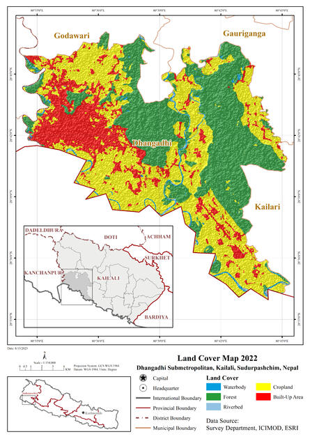
Dhangadhi Land Cover Map 2022

Resolve Biomes of Nepal (From Earth Map)
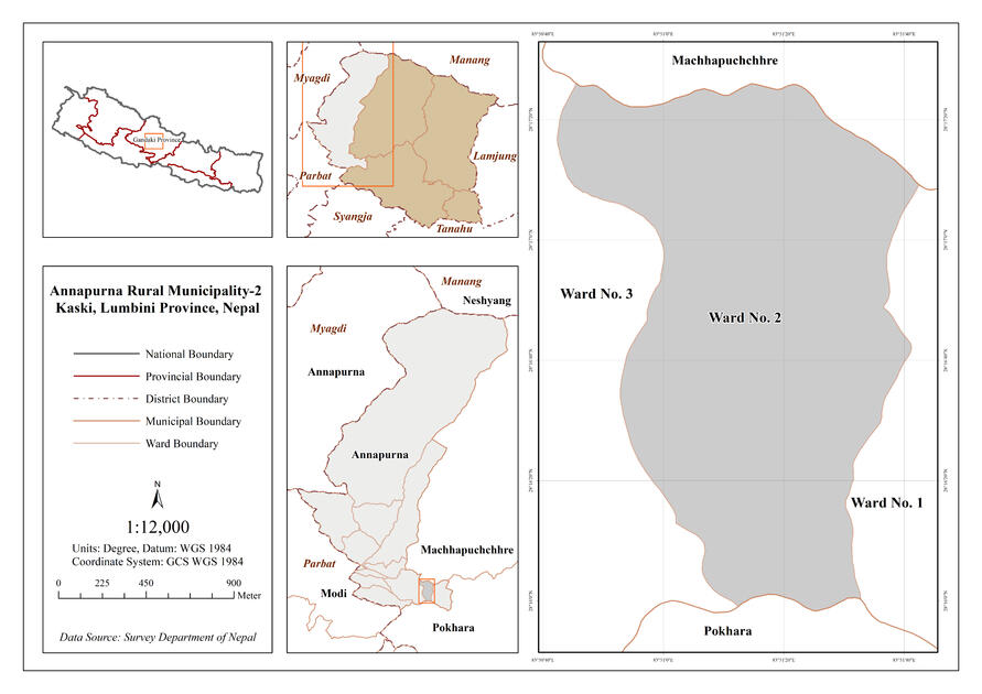
Study Area Map for Final Year Project-BGE2022


GIS Project Portfolio-Map Gallery ( Youth Innovation Lab)
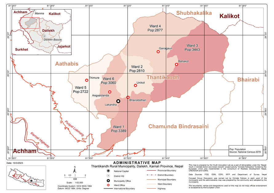
Administrative Map (WIN-DRR 2023)

Land Use Land Cover Map (WIN-DRR 2023)

Hazard Risk Map (WIN-DRR 2023)

Critical Infrastructure Map (WIN-DRR 2023)

Utility Infrastructure Map (WIN-DRR 2023)


get in touch with me
If you are a geospatial enthusiast and want to share and learn about new things related to Geographic Information Systems | Remote Sensing | Cartography | Geodesy | Global Navigation Satellite System | Earth Observation | Earth Science | Spatial Analysis | WebGIS | Google Earth Engine | ArcGIS | QGIS | ArcGIS Pro | Google Earth Pro | Collect Earth | Python Programming | GeoServer | PostgreSQL | GeoAI | GeoScience
© Prakash Gharti Magar - All Rights Reserved.